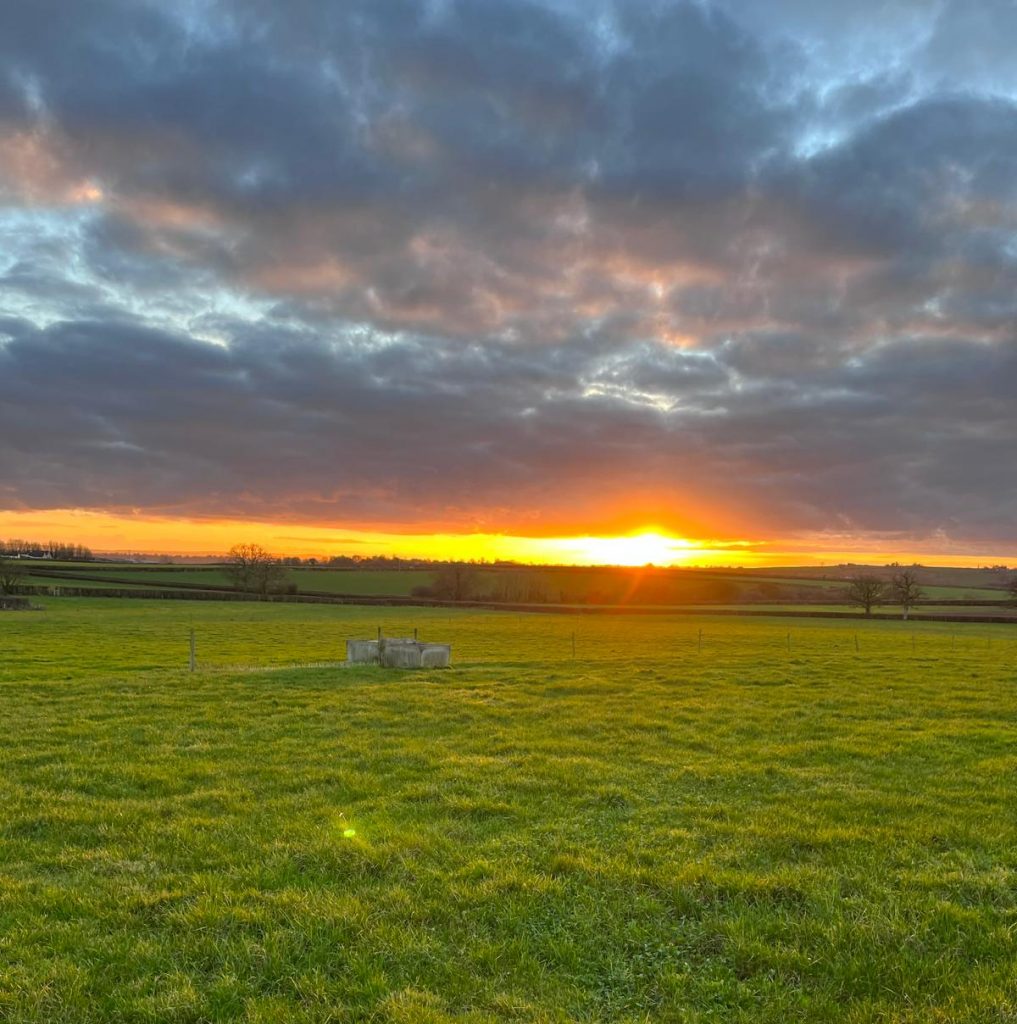
There are various walks to be discovered around our beautiful village, use the link below to visit the Komoot web site that shows these public footpaths.
Notes about Village Walking
Most of our footpaths are rough walking and usable with care by the fully fit. Except when the ground is frozen solid or baked hard, walkers need wellingtons or walking boots.
Some of the stiles are a bit rickety but safe enough if used with care.
Under wet conditions, some of the walks through Duncliffe Wood are dangerous; extreme care is necessary. Some sections through the woods are very steep and very slippery when wet so we would recommend using the main central pathway which has recently been resurfaced and provides the most suitable all-weather surface in those conditions.
All local walks include roads so dress for visibility.
Few, if any, walks from East Stour are suitable for those dogs which are too heavy to lift over stiles or who are unable to jump over them. Also, many of the local walks include crossing fields which have livestock so care should be taken.
Ordnance Survey
The Ordnance Survey Explorer Map ref : 129 shows East Stour footpaths.
To see comments and recommendations when following the OS footpath routes please see our OS Footpath Comments.
Circular Walks worth a mention
From the village, via the farm shop to Duncliffe Woods, round to East Stour Common and back via Hartgill farm: approx. 2 – 4hrs depending on how long you stay in Duncliffe.
From the top of Hunger Hill east to the Common and back via Hartgill: approx. 1hr.
There is a network of paths south across the A30 to Scotchey lane and back and so several circular walks can be found which take approx. 0.75 – 1.25hr.

